Crop Marks vs. Parch Marks: How Archaeologists Spot Buried Sites
Crop marks vs. parch marks in archaeology: they are closely related, not entirely separate discovery methods. A crop mark is a pattern in vegetation growth, colour or ripening that may reflect something hidden beneath the ground. A parch mark describes vegetation drying or dying more quickly over certain underlying features, often during hot, dry weather. In practice, archaeologists frequently discuss parch marks as one kind of vegetation or crop mark.
The distinction matters because a green patch and a brown patch can both point to buried structures—but they might also result from modern drainage, soil variation or farming. For the wider context of drought discoveries, read our drought marks in archaeology guide.
Why Hidden Archaeology Changes Plant Growth
Plants depend on soil depth, moisture and nutrients. An ancient ditch filled with moisture-retaining sediment may provide deeper soil for roots than the undisturbed ground beside it. Above a buried stone wall or hard surface, soil may be shallow and dry out sooner.
Historic England’s cropmark formation guide explains how these differences can create contrasting crop height, colour and ripening time. Low rainfall can exaggerate the differences by making water availability more important.
Positive Crop Marks vs. Negative Crop Marks
| Feature below soil | Possible crop response | What you might see from above |
|---|---|---|
| Filled ditch or pit | Roots reach deeper, moister sediment | Taller or greener growth—often called a positive crop mark |
| Stone foundation, compacted floor or road | Reduced rooting depth, faster moisture stress | Shorter, yellower or parched growth—a negative mark |
| Modern drain or pipeline | Changes drainage or depth | Potentially similar linear marks, even without ancient archaeology |
Important: the appearance depends on the specific crop, soils, season and weather. A buried ditch need not always be green, and a rectangular mark does not automatically prove a Roman building.
When Does a Parch Mark Appear?
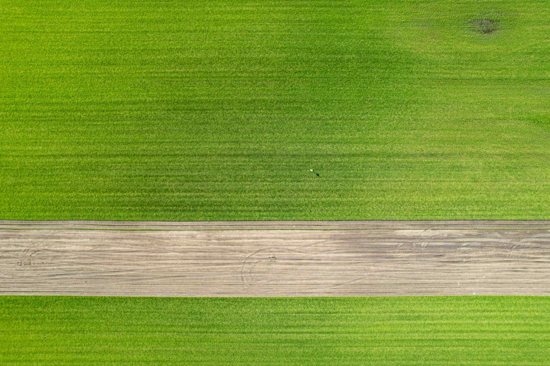
Parch marks often become noticeable during periods of moisture stress. Grass or crops rooted above shallow soil or stone may turn yellow or brown before surrounding vegetation. Aerial and satellite images can reveal their geometry more clearly than a person walking across the ground.
Historic England notes that cropmarks may be highly visible one summer and absent the next. Soil, rainfall, crop choice and planting cycles all matter. Scientists should not treat lack of a mark in a wet season as proof that the underlying feature is absent.
Crop Marks, Soil Marks and Shadow Marks Are Different
Crop or vegetation marks concern changes in plants. Soil marks are visible colour differences in exposed ploughed earth—for example lighter subsoil or darker ditch fill brought to the surface. Shadow marks rely on low sunlight creating shadows across subtle surviving earthworks. They may be useful together, but the visual mechanisms are different.
Worked Example: A Green Circle and a Pale Rectangle
Hypothetical field example: a drone image shows a greener ring in a barley field and a paler rectangle overlapping it. A working hypothesis is that the ring reflects a buried ditch and the rectangle shallower soils above foundations. But the investigator should also test whether farm tracks, fertilizer application, field drains, different crop varieties or geology could generate the patterns.
To move from pattern to interpretation, archaeologists compare dated aerial photographs, historic maps, LiDAR, field inspection, geophysical surveys and—where appropriate and permitted—excavation. The Historic England geophysics guide explains how electrical resistance and magnetometry provide complementary evidence.
Five Checks Before Calling a Mark an Archaeological Site
- Compare images from more than one year and season.
- Identify the crop and field management history.
- Examine whether shape and scale are consistent with plausible features.
- Look for modern drains, boundaries and services on maps.
- Seek independent geophysical, documentary or excavation evidence before firm dating or attribution.
Why Aerial Perspective Matters
A person standing inside a field may overlook a 100-metre-long enclosure because the colour contrast is gradual. From above, rings, straight lines and corners can form recognizable patterns. This does not make aerial interpretation infallible: the geometry may be ambiguous, and perspective or image processing can exaggerate faint marks.
Frequently Asked Questions
Are parch marks always caused by archaeology?
No. Water stress can follow natural geology, utilities or modern land use.
Are crop marks more visible during drought?
Often, but not always. Crop species, soil and the weather before the image was taken influence visibility.
Can you date an archaeological feature from its crop mark alone?
Usually not. A shape can suggest an interpretation, but independent dating evidence is needed.
Primary sources: Historic England: Formation of Cropmarks; Historic England: Aerial Discoveries; Geophysical Survey Techniques.